My research agenda is related to governance and development in Mexico and Latin America
Cities
These are the slides for my third session covering the following issues
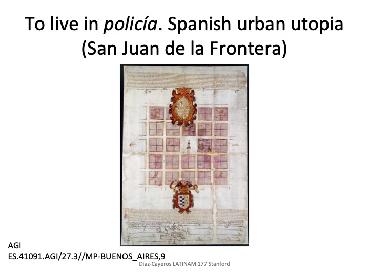
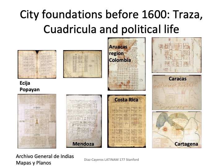
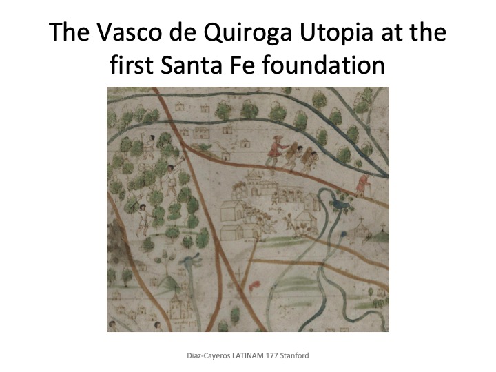
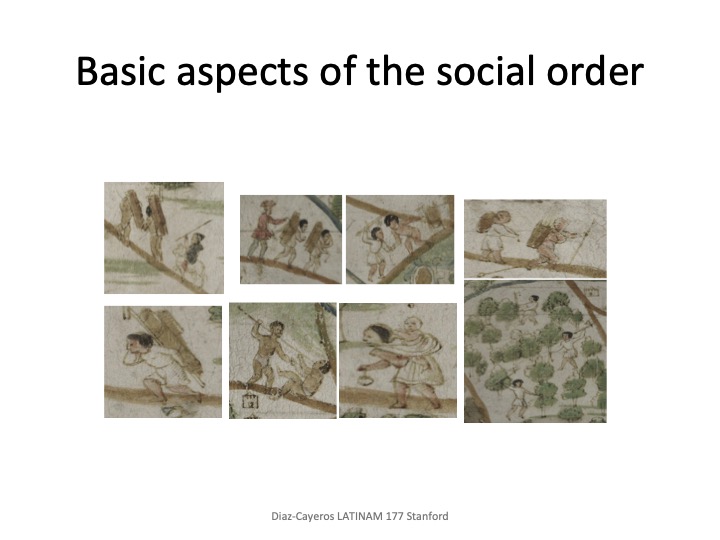
“Vivir en Policía” and the well ordered urban landscape
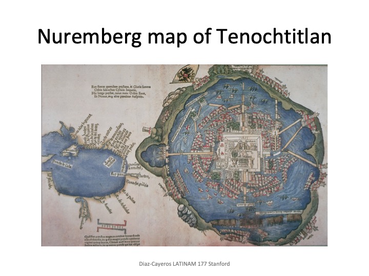
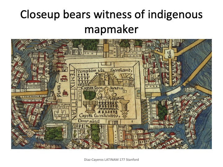
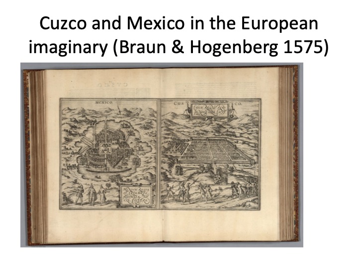
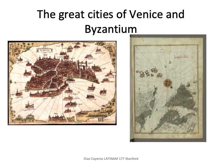
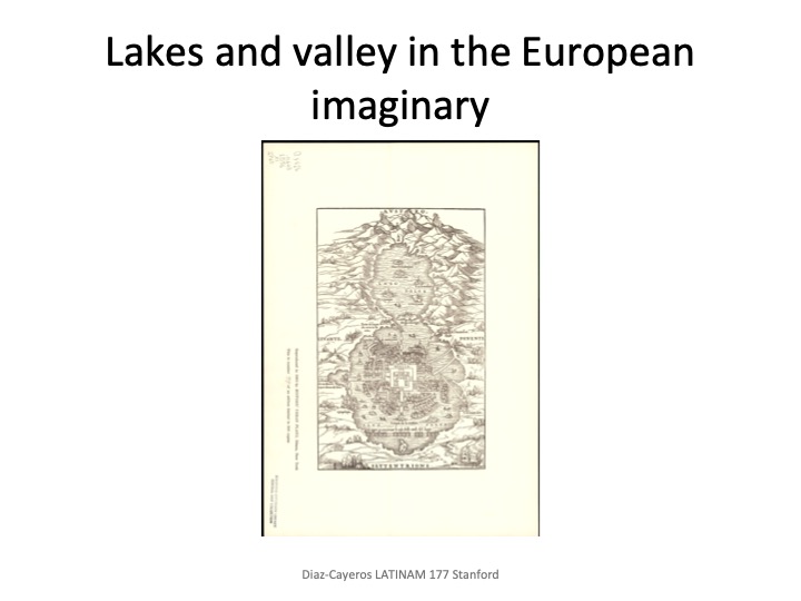
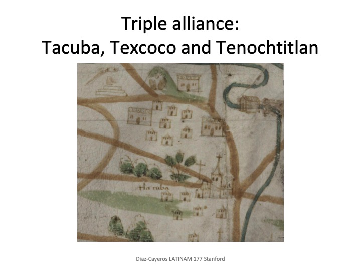
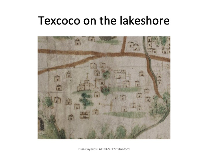
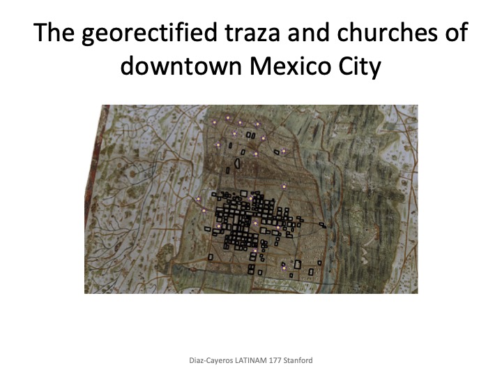
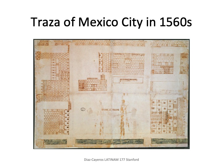
Cartographic representations (orientation and a map within a map)
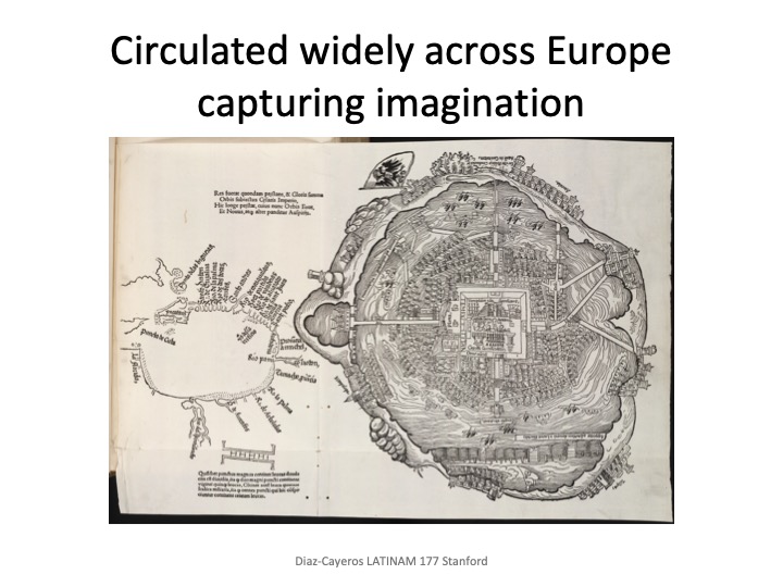
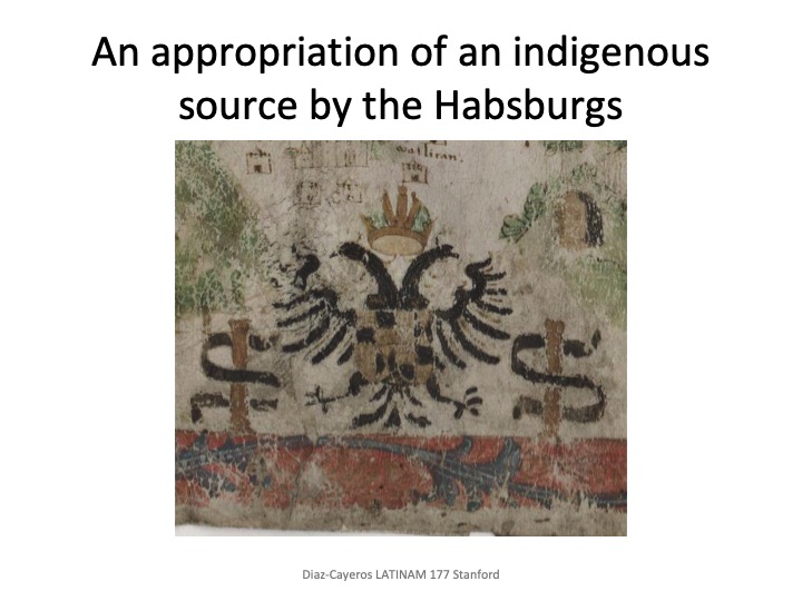
The “original” map sources, reproductions and defective copying
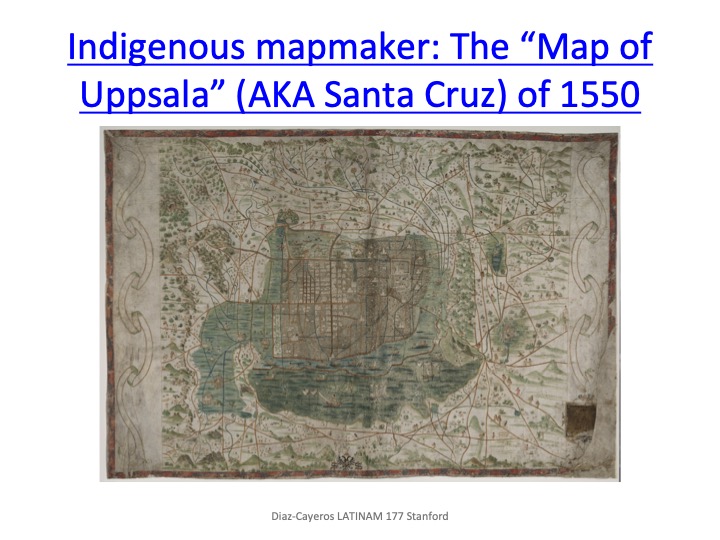
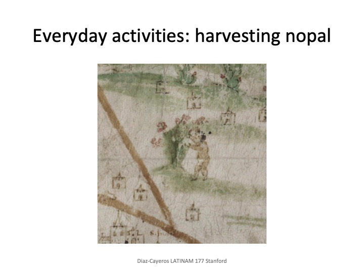
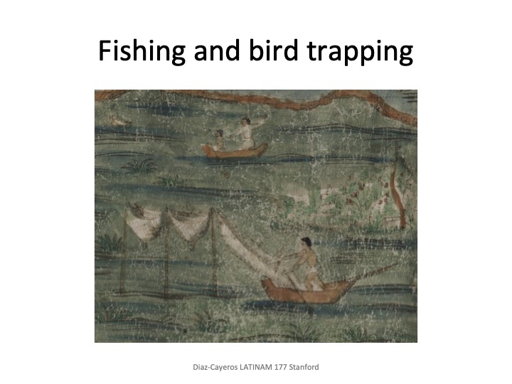
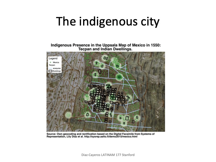
The Indigenous of Mexico City in 1550
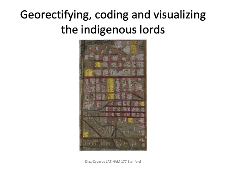
Creating point and polygon layers of map features
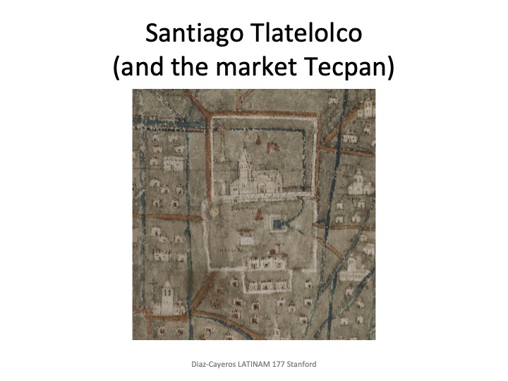
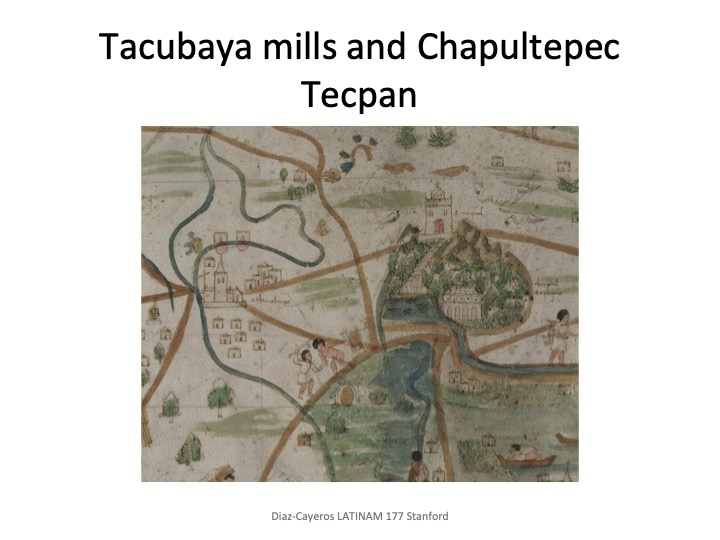
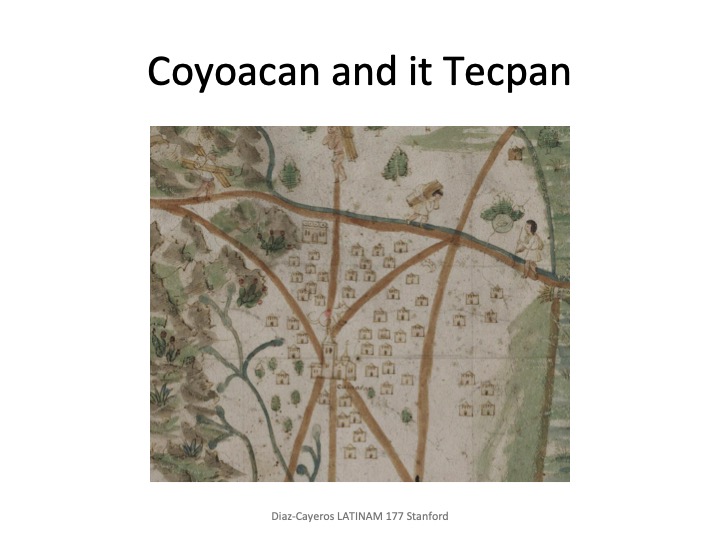
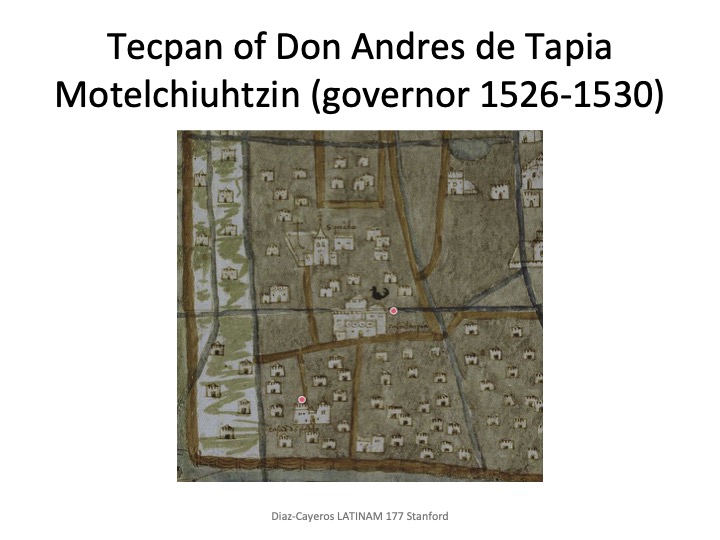
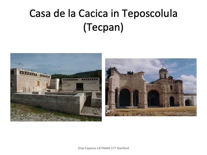
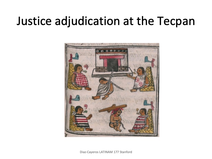
Tecpans as centers of indigenous political power
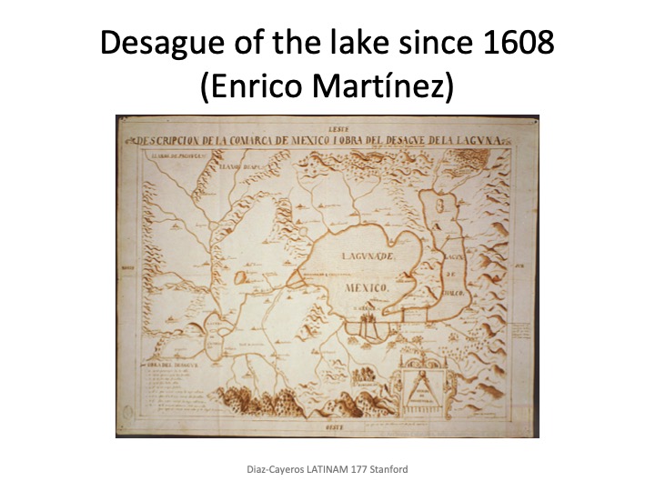
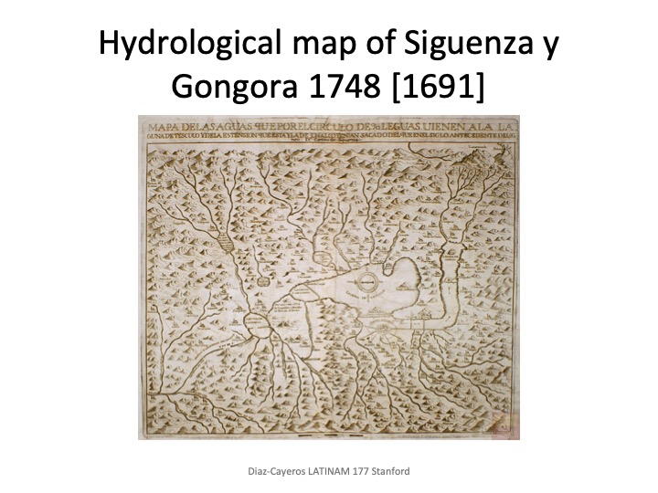
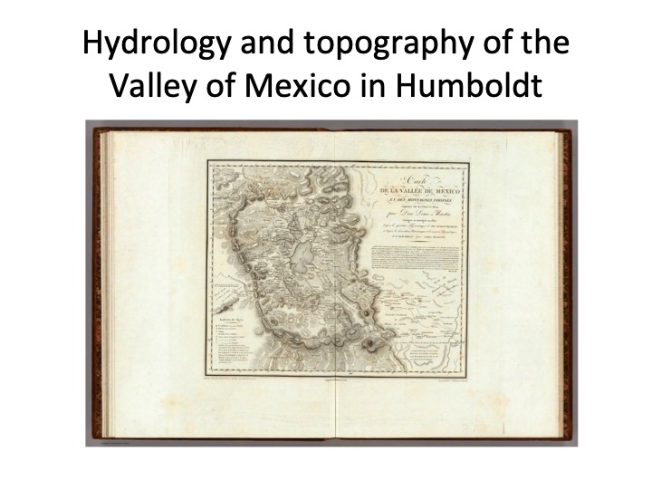
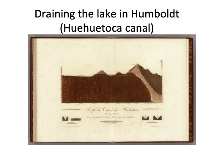
Draining the lake, transforming the physical landscape
(Here is an audio recording of my class presentation - should probably be listened while looking at slides - and a vimeo recording of a presentation at CLAS seminar some months ago on the Uppsala map)